


_r__600-404_c__7a797a_.png?x-oss-process=style/png_small)
.png?x-oss-process=style/png_small)


.jpg?x-oss-process=style/small)
News


PRODUCTS
1
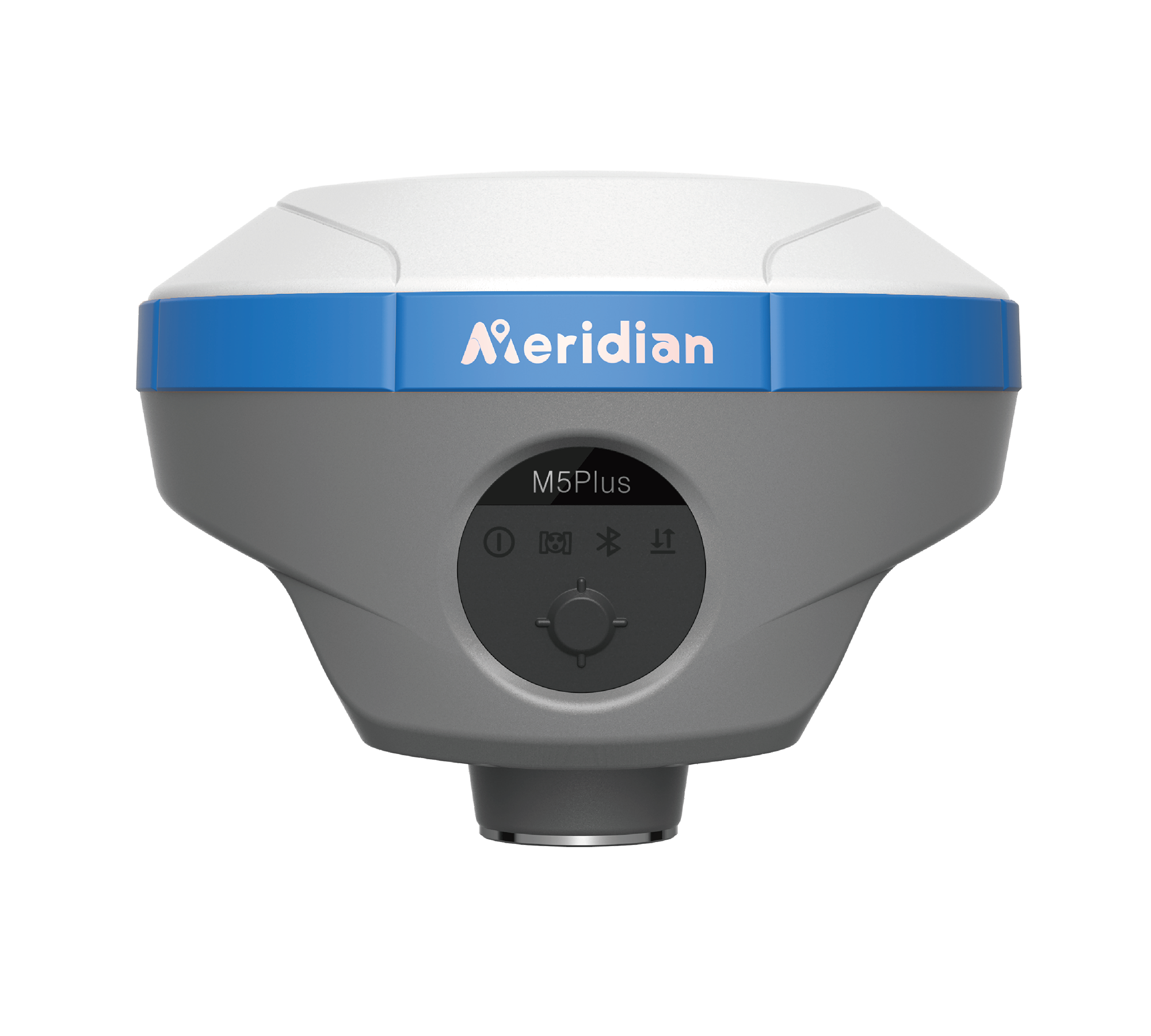
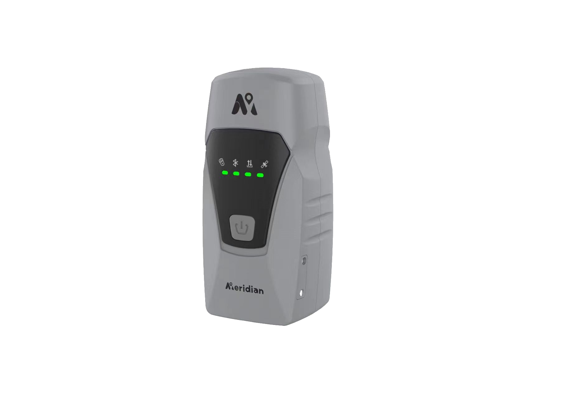
GNSS Systems
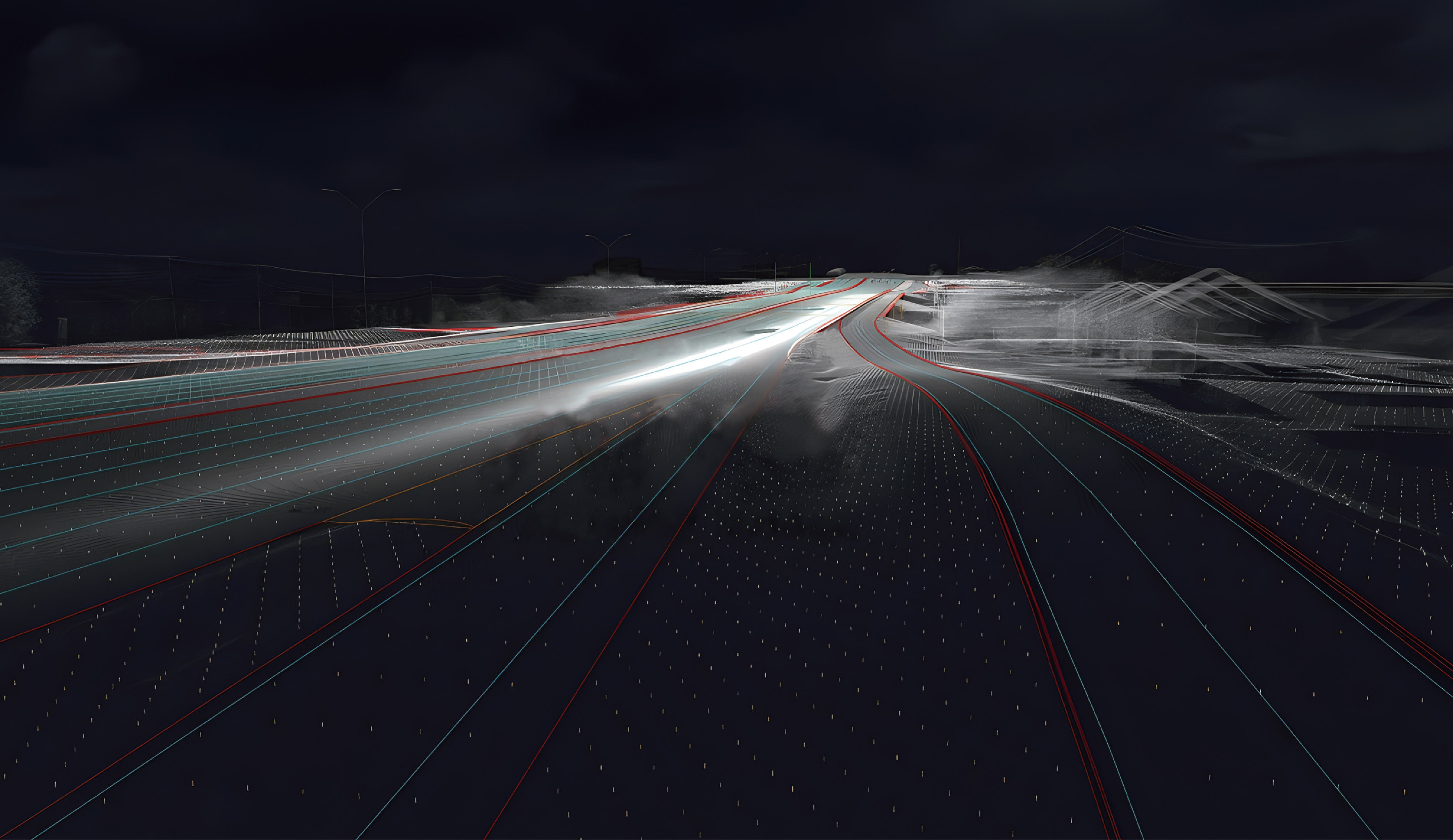
GNSS (Global Navigation Satellite System) is a navigation system based on satellite positioning technology, used to determine the position, velocity, and time on Earth. The GNSS system utilizes a combination of satellites and ground receivers to determine the position of the receiver by measuring the propagation time and position information of satellite signals.
2
CORS Network
CORS (Cross Source Resource Sharing) is a mechanism used for cross domain resource requests in web browsers. In browsers, for security reasons, there is a homologous policy that restricts the interaction between resources loaded under one source (domain name, protocol, and port) and other sources. CORS allows servers to include specific HTTP headers in their responses to authorize web pages under other domain names to access their resources.
3
Total Stations
Total Stations are high-precision instruments used for surveying and positioning, widely used in land surveying, construction engineering, and surveying work. It combines electronic distance measuring instruments (EDM), angle measuring instruments, and data processing functions to measure horizontal, vertical, and oblique angles, thereby determining the three-dimensional coordinate position of the target point.
4
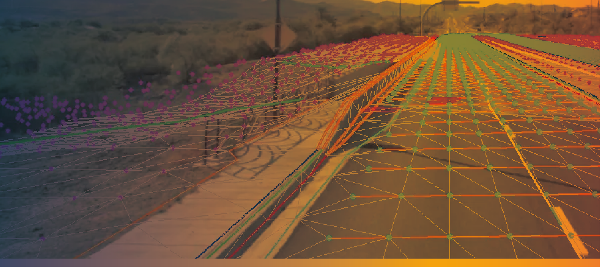
Precision Agriculture
Precision Agriculture is a method that utilizes advanced technology and data analysis to optimize agricultural production. It combines technologies such as Global Navigation Satellite System (GNSS), remote sensing technology, Geographic Information System (GIS), and automation control to achieve precise management and decision-making of agricultural production.
5
Marine System
Marine systems refer to a wide range of technologies and equipment used in various marine-related applications. These systems are designed to operate in marine environments such as oceans, seas, and other bodies of water. They are used for a variety of purposes, including navigation, exploration, research, surveillance, and transportation.

MERIDIAN OVERVIEW
Meridian GNSS is an industrial technology company transforming the way the world works by delivering solutions that enable our customers to thrive. With an extensive portfolio of surveying equipment, Meridian GNSS rapid growth in the field of geomatics technologies has garnered recognition, and to be one of the industry's fastest-growing companies.
2018
Founded in
30
%
R&D Investment
100
%
ROI
10000
+
Sales Quantity
100
+
Intellectual Properties
30
+
Worldwide Engineers